
Apple Maps Military Bases Blurred, From Area 51 to Vandenberg

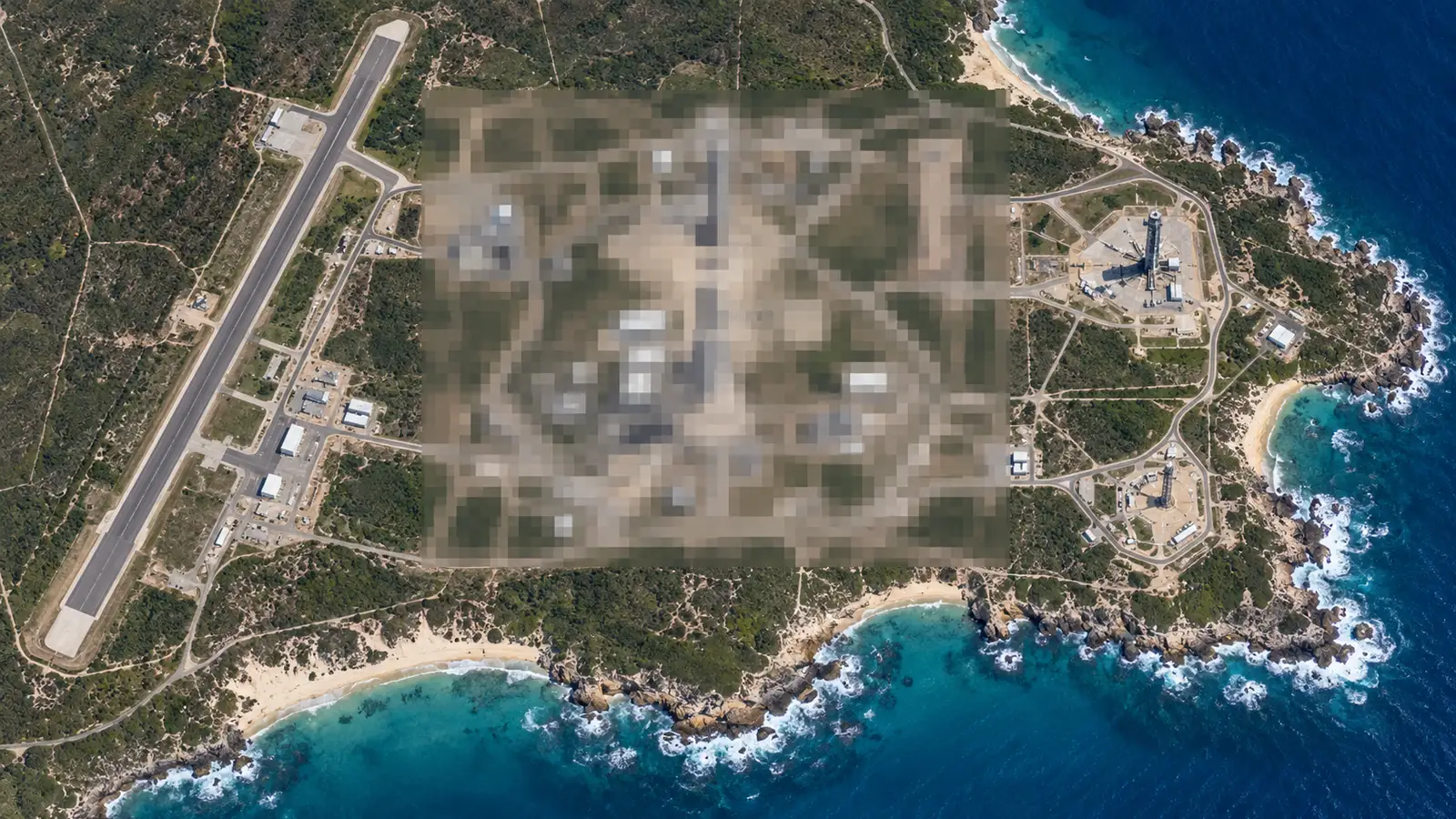
Apple Maps military bases are disappearing from view. Since late October 2026, Apple Maps has been blurring its satellite imagery of several U.S. space and defense sites, including Cape Canaveral Space Force Station, Vandenberg Space Force Base, Whiteman Air Force Base and Area 51. Apple has made no announcement, and Google Maps still shows the same places in full detail.
The change was first spotted by Space Explored, which compared dozens of installations on Oct. 30. Rockets on launch pads and aircraft on flight lines at the affected sites can no longer be seen from Apple’s satellite layer.
Which Apple Maps Military Bases Are Blurred?
Most of the blurred locations belong to NASA or the U.S. Space Force. The list reported so far includes:
- Cape Canaveral Space Force Station and its parent base, Patrick Space Force Base, in Florida
- Vandenberg Space Force Base in California
- Wallops Flight Facility in Virginia (the airfield only, not its launch pads)
- Stennis Space Center in Mississippi
- Whiteman Air Force Base in Missouri, home to most of the B-2 stealth bomber fleet
- Ellsworth Air Force Base in South Dakota, one of two U.S. homes of the B-1B bomber
- Groom Lake, better known as Area 51, in Nevada
- Los Alamos National Laboratory in New Mexico
Cape Canaveral and Vandenberg host most of the military’s launch pads and handle some of the most sensitive national security satellites. They are also where many commercial missions fly, including the Falcon 9 launches that space fans track from home.
What Is Still Visible?
The rollout looks selective rather than complete. Kennedy Space Center and its historic pads, LC-39A and LC-39B, remain clear, so the sites used for NASA’s Moon program can still be viewed. Our guide to the Artemis 3 launch date explains what is planned from those pads.
Dyess Air Force Base, the second B-1B base, and Barksdale Air Force Base, home to most of the B-52 fleet, are not blurred. Large Navy installations such as Pearl Harbor, Naval Station Norfolk and Naval Station Great Lakes are also visible, as are two Air National Guard bases in Wisconsin that were checked.
Why It Matters
Apple has not explained the criteria, the timeline or whether more locations will follow. It is also unclear how navigation and CarPlay directions will work inside blurred bases, and whether people who work there will need another app for on-base routing.
The practical security effect is limited for now. Google Maps and other commercial imagery providers still show the same ground, so the change mostly affects which app a curious user opens. It does, however, put Apple’s approach at odds with Google, which keeps adding features to its own service, such as the McLaren F1 navigation avatar.
For launch watchers, the change means Apple Maps is no longer useful for checking pad activity at Cape Canaveral or Vandenberg, while SpaceX’s Texas site, which is preparing for Starship Flight 15, is not on the reported list. Apple has not publicly commented on the change.
Your comment has been submitted,
it will be published after approval.