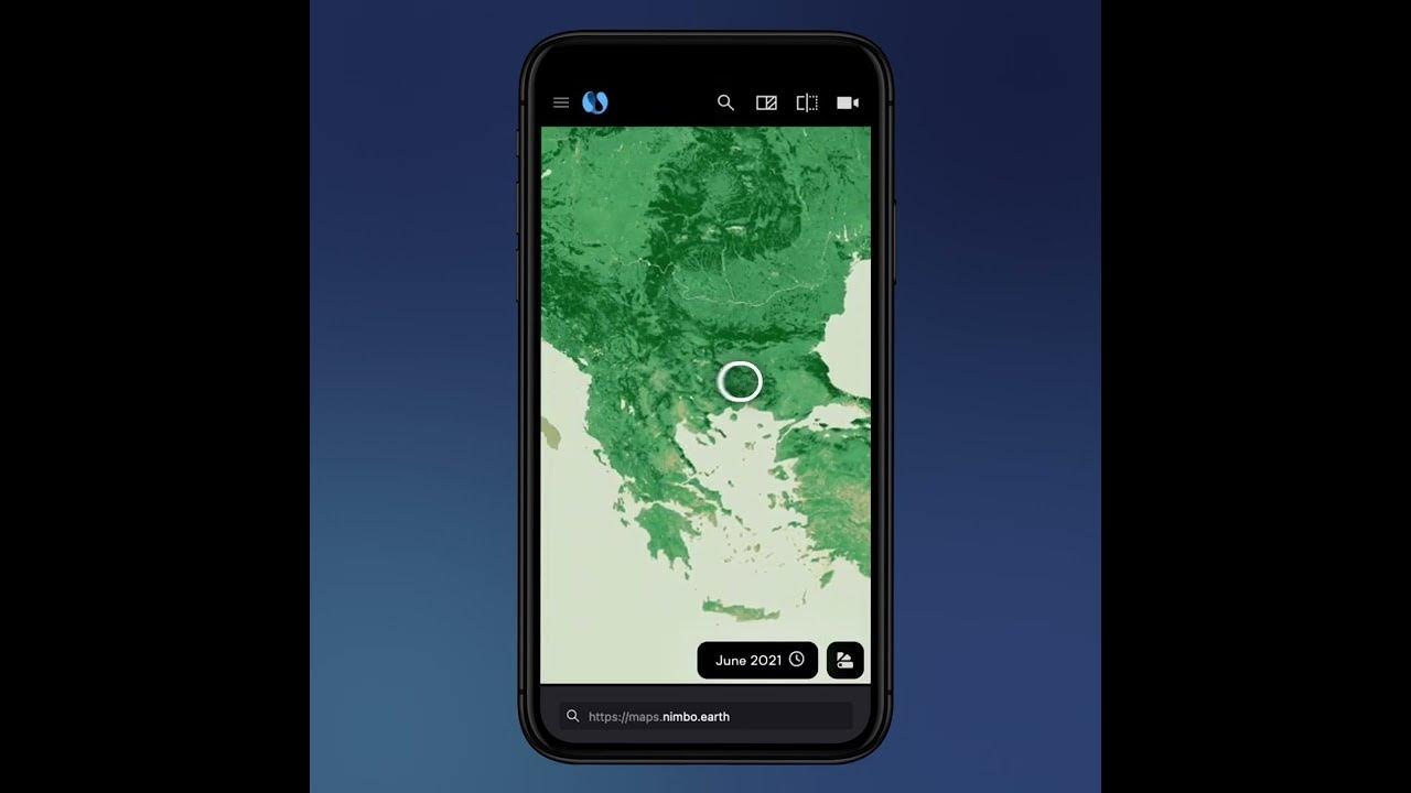
It became a rival to Google Earth. French startup Kermap has managed to develop a digital twin of the Earth, which it calls Nimbo Earth Online. Kermap claims to offer the most up-to-date images of our planet. Here are the details…
Alarm bells for Google Earth! With Nimbo Earth Online you can discover the planet’s digital twin!
Nimbo Earth Online continues to deliver new satellite images of the earth without clouds every month. The company uses artificial intelligence for this program. With deep learning techniques, it manages to completely remove clouds from photos.

So how does artificial intelligence achieve this? In fact, Nimbo is looking for the most recent cloud-free image of the same area, thanks to deep learning techniques. After finding it, he replaces the clouds with this image. Google Earth, on the other hand, refreshes its images every few months or once a year, depending on location.
Nimbo Earth Online’s data is based on Sentinel 1 and 2 satellite images provided by the EU’s Copernicus programme. Users can view images in both 2D and 3D.
However, there is something you should pay attention to. Nimbo Earth Online offers a resolution of only 10 meters per pixel. Unfortunately, this resolution is much less than what Google Earth offers. Therefore, if you want to access more detailed information, you should use Google Earth. If you want to measure the amount of change in a region, you can choose Nimbo Earth Online. Because its data is updated every month.
The program offers four layers of data: natural, infrared, NDVI (to measure the health and density of vegetation) and radar. The radar layer in particular is very useful for applications such as tracking shipping routes, tracking wildlife, and mapping the earth’s surface at night. There’s also a time-lapse feature to capture how a particular geographic location changes over months or years.
Nimbus Earth Online is open source software. Moreover, it is free. You can explore the program simply by creating an account.


