
Google Earth Integrates Nano Banana 2 for Advanced Image Generation

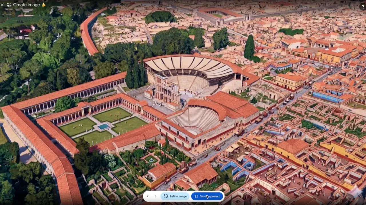
Google has officially integrated its sophisticated Nano Banana 2 image generation model into the Google Earth platform, marking a significant advancement in how users interact with global geospatial data. Available globally on the web version of the application, this update enables users to leverage existing satellite, aerial, and 3D imagery to produce highly customized, realistic visual representations of any location on the planet. By simply zooming into a specific coordinate and providing a descriptive text prompt, individuals can now transform map data into tailored scenes, blending real-world topography with generative artificial intelligence capabilities.
- Google has deployed the Nano Banana 2 model to its web-based Google Earth platform for global public use.
- The system utilizes existing 3D and satellite data to generate high-fidelity, user-defined visualizations.
- Educational and professional sectors can employ the tool for historical reconstructions and architectural planning.
The implementation of Nano Banana 2 represents a major leap forward for digital cartography and visual storytelling. Rather than relying solely on static imagery, users can now manipulate the environment to suit specific educational or professional needs. This functionality provides a bridge between raw data and creative application, allowing for a more immersive exploration of the world.
New Capabilities Enhance Educational and Professional Workflows
The utility of this integration extends far beyond casual map exploration. Educators, for instance, can utilize the model to reconstruct ancient historical sites, such as the ruins of Pompeii, providing students with a visual understanding of how these locations appeared in antiquity. This application creates a dynamic learning environment that traditional textbooks cannot replicate.
This generative tool fundamentally alters how spatial data is interpreted and presented across various professional industries.
Furthermore, the tool serves as a powerful asset for real estate developers and urban planners. By visualizing construction projects in their intended environments before ground is ever broken, stakeholders can gain a clearer perspective on architectural impact and urban density. The ability to generate custom infographics and detailed site plans directly within the interface simplifies complex project management tasks and improves communication between teams.
Global Access Ensures Widespread Platform Utility
Google has ensured that this technology is accessible to a broad audience by making it available through the standard web version of Google Earth. The workflow is designed for efficiency; after focusing on a desired geographic point, the user defines the specific visual elements they wish to see through text prompts. 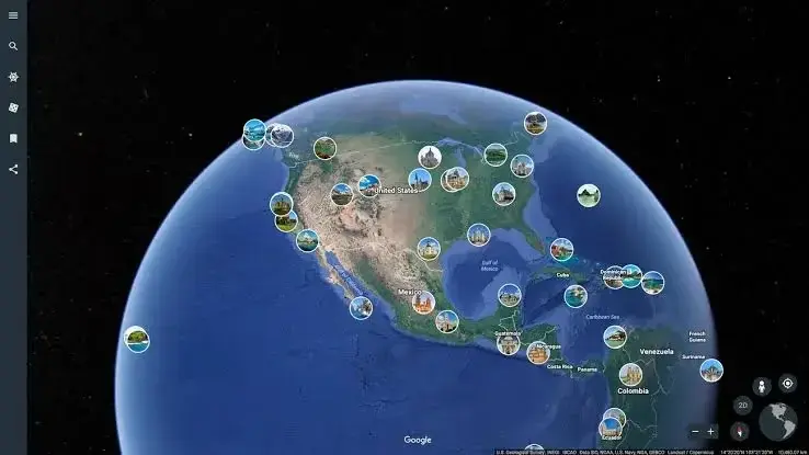
The model produces high-realism outcomes by anchoring generative outputs to the platform’s foundation of accurate satellite and 3D mapping data.
While the tool holds significant professional value, it also encourages creative freedom. Users can alter the aesthetics of their favorite landmarks, experimenting with different design styles or environmental conditions for purely entertainment-based projects. This versatility positions the platform as both a serious research utility and a creative studio for the general public.
As Google continues to refine the capabilities of the Nano Banana 2 model, the potential for further innovation within the Earth platform remains vast. Whether it is used for preserving historical narratives or planning the future of cityscapes, the technology provides a unique window into our world’s past, present, and potential future.
We are eager to hear your perspective on these new generative features, so please share your thoughts in the comments section regarding how you plan to use this technology for your own projects.
Your comment has been submitted,
it will be published after approval.