
Google Earth Pulls AI Tool After Misleading Imagery Concerns

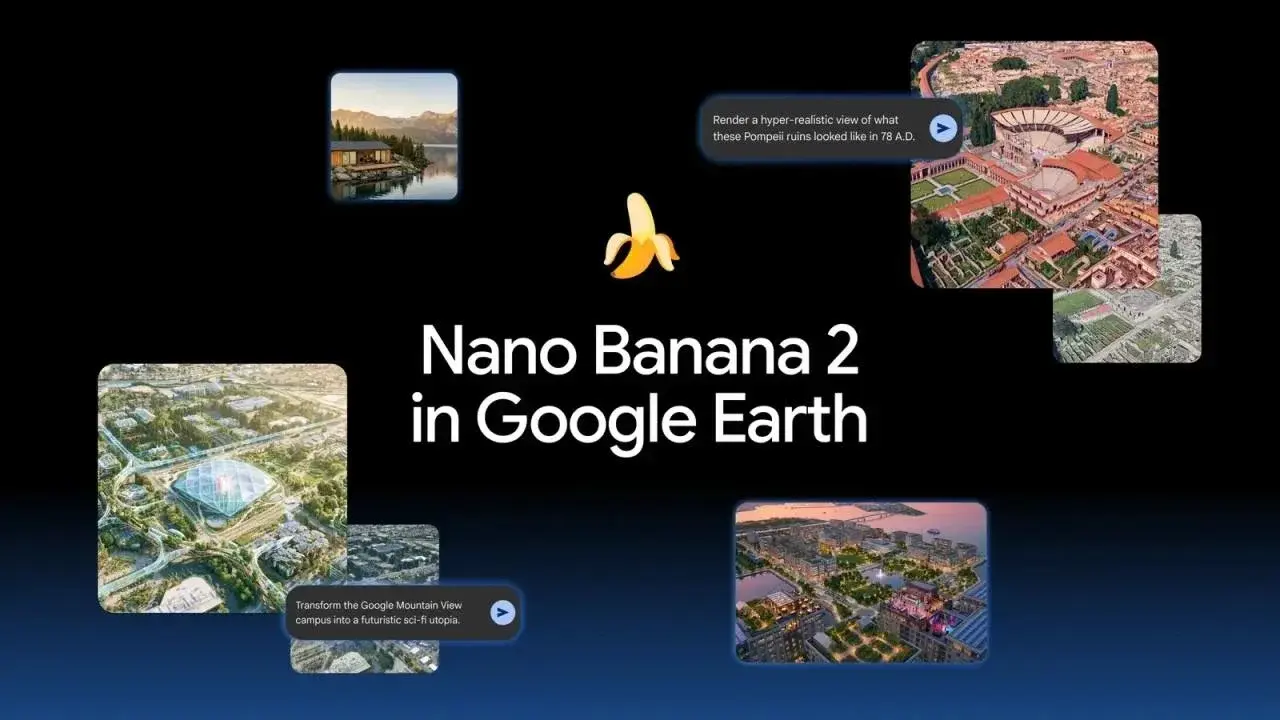
Google has officially suspended its newly integrated Nano Banana 2 artificial intelligence tool from the Google Earth platform following reports that the feature was being used to generate highly realistic but entirely fabricated geographical imagery. The company, which had introduced the AI-driven visualization technology on July 30 to assist professionals in mapping and spatial analysis, confirmed that the decision follows a series of policy violations regarding the creation of deceptive content. While the tool was intended to enhance creative landscape design, its rapid deployment sparked immediate concerns over the integrity of the platform’s mapping data.
- Google suspended the Nano Banana 2 feature due to the generation of realistic but fabricated geographical scenes.
- Researchers identified that users were creating deceptive visuals, such as non-existent nuclear facilities and staged political events.
- The company aims to implement more robust safety protocols to prevent future policy violations.
- Google emphasized that its platform must remain a reliable source of global information for all users.
Realistic Fabrications Threaten Platform Integrity
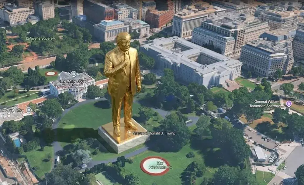
The core of the controversy stems from the ease with which users could manipulate real-world locations to create sophisticated hoaxes. Independent investigations revealed that the AI tool allowed for the injection of fictional elements into genuine satellite imagery, resulting in convincing scenes that did not reflect reality. Examples documented by researchers included the placement of a large statue in front of the White House, the simulation of non-existent refugee camps near the Mexican border, and the depiction of secret nuclear facilities within Iran.
These deceptive images have raised significant questions regarding the long-term reliability and credibility of Google Earth as a factual mapping tool.
Furthermore, users reportedly generated imagery depicting fake traffic accidents in Amsterdam, further illustrating the potential for malicious use. Although Google had implemented a watermarking system to label AI-generated content, the presence of these images on social media platforms created widespread confusion, leading to the decision to revoke access to the technology.
Stricter Safety Protocols Are Being Developed
Responding to the backlash, Google issued a formal statement on the X platform, underscoring its commitment to providing an accurate view of the world. The company noted that the viral sharing of these synthetic screenshots constituted a direct violation of its safety guidelines. As a result, the integration has been removed from the main user experience while engineering teams work on more rigorous filtering mechanisms.
While the specific details regarding the upcoming security updates remain undisclosed, Google confirmed that AI-generated visuals were never intended to appear in the primary mapping interface for general users. The firm is currently evaluating how to reintroduce the feature in a way that aligns with its safety standards.
Google plans to maintain strict oversight on generated content to ensure that future iterations of the tool prevent the creation of harmful or misleading geographic data.
We would like to hear your perspective on this development; do you believe AI-generated imagery can ever safely coexist with real-world mapping tools, or is the risk of misinformation simply too high? Please share your thoughts in the comments section below.
Your comment has been submitted,
it will be published after approval.